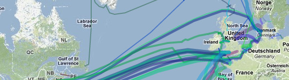
With 99% of the internet traffic flowing between countries travelling via underwater cables, it’s interesting to see exactly where it is they go.
A new map compiled by Greg Mahlknecht reveals the locations of the major pipes flowing from Europe to North America, as well as those from Asia to Australia and Africa.
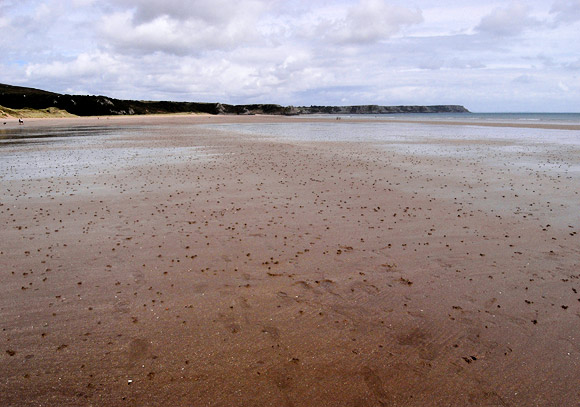
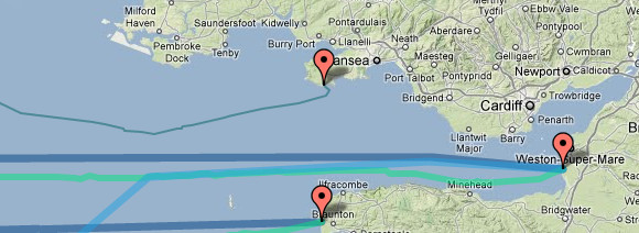
Oxwich Bay, south Wales, where several submarine cables leave the mainland of Britain from Oxwich, including the SOLAS cable across the Irish Sea, and the TAT-11 and Gemini North transatlantic telephone cables [more about Oxwich Bay here].
Greg has kindly offered the map for free, and here he explains his methods:
Greg’s Cable Map is an attempt to consolidate all the available information about the undersea communications infrastructure. The initial data was harvested from Wikipedia, and further information was gathered by simply googling and transcribing as much data as possible into a useful format, namely a rich geocoded format. I hope you find the resource useful and any constructive criticism is welcome.